Parents Uncategorized
Interactive Mapping
November 24
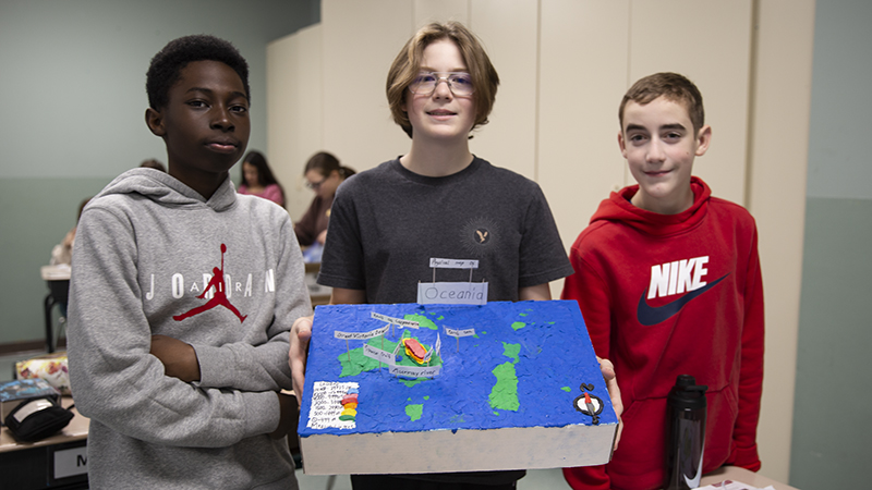
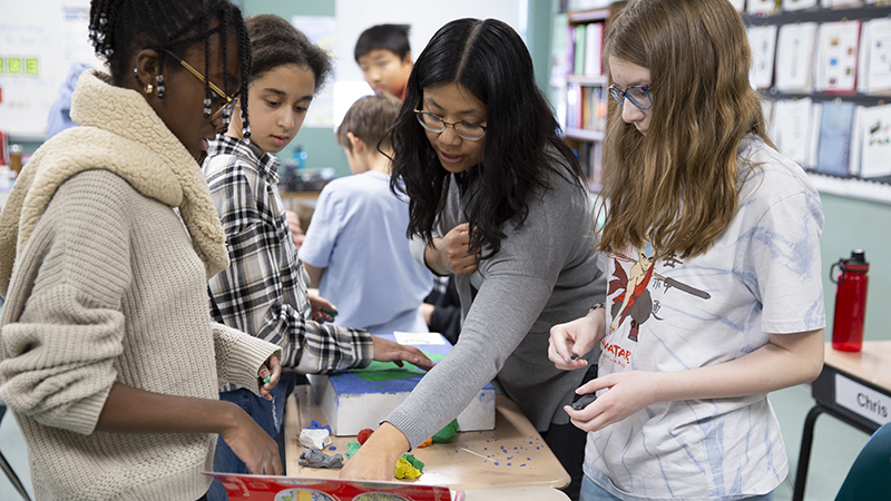
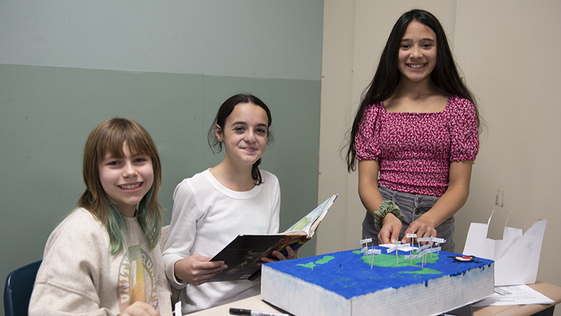
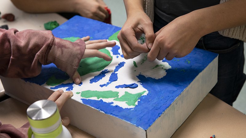
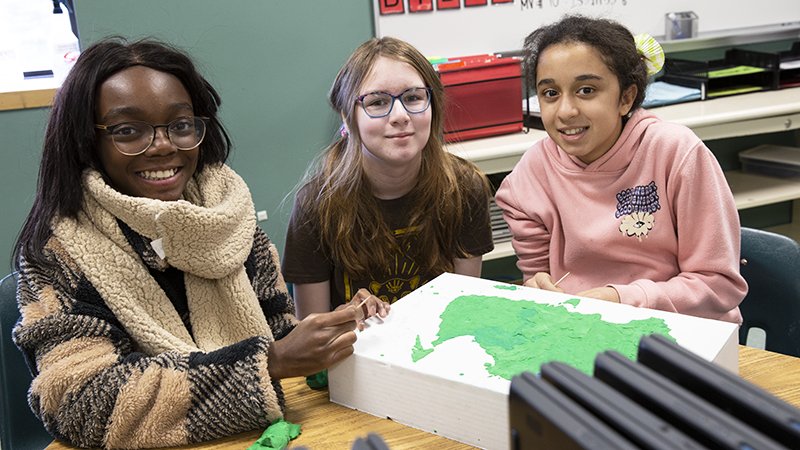
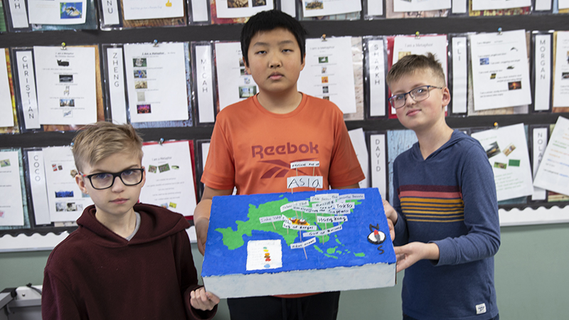
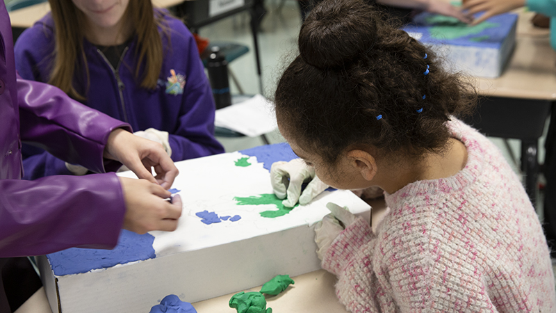
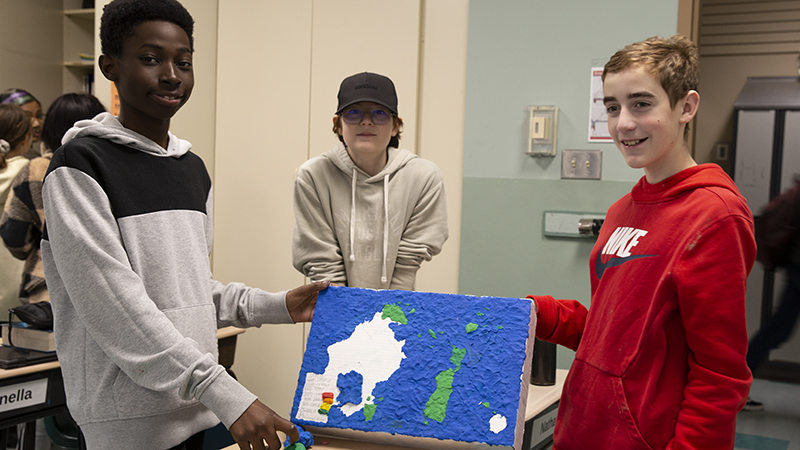
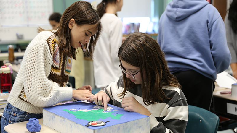
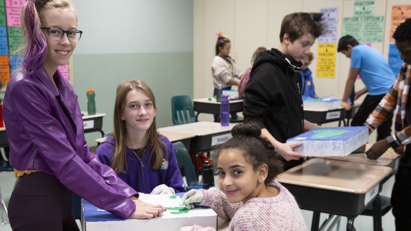
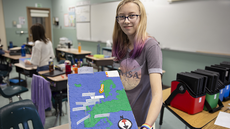
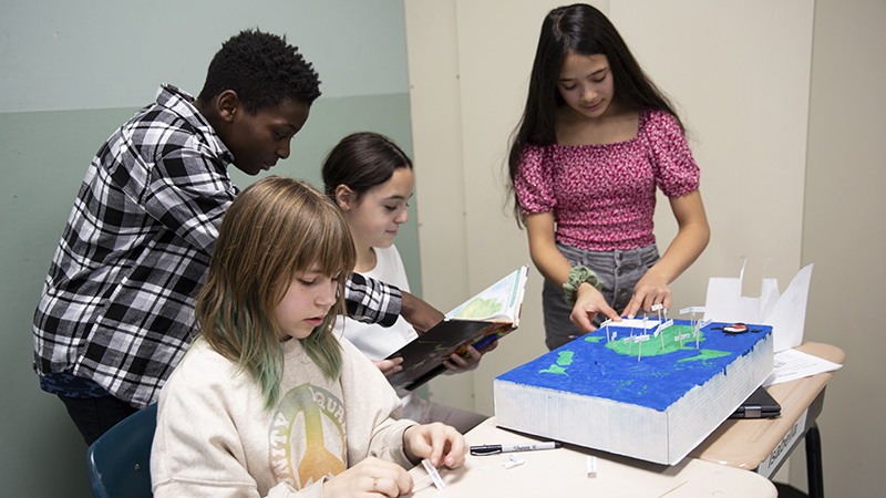
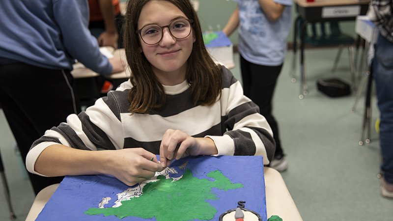
Grade 7 students in Mrs. Grenier’s class are currently learning about mapping through creating a three dimensional physical features model. The tactile activity involves using plasticine to build the different land and water features of our continents, including mountains, islands, rivers and oceans.
This interactive social studies project is beneficial for growing each student’s understanding of the physical geography of our world. The beautiful relief maps also feature elevation changes and bring awareness to the geology of different regions.